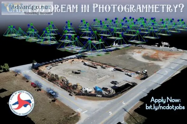
Photogrammetry Engineering Technician III - NEW HIGHER SALARY
How to ApplyYou MUST apply at s tinyurl.com 4etdkcu6 by November 10 2022 at Midnight EST to be considered. NCDOT is a Great Place to Work.Don t take our word for it. Read what our people are saying at s bit.ly NCDOTGreatPlaceToWork.We are the highest rated state agency for employee satisfaction on Glassdoor with 200 reviews. NEW HIGHER SALARY 41 429 - 72 500 The ChallengeWe re looking for a skilled engineering technician to join our Photogrammetry team acquiring aerial imagery and generating geospatial information products used for transportation planning design and construction. The team also partners with other government agencies for statewide orthophotography and aerial LiDAR elevation data programs and serves as NCDOT s subject matter experts for aerial surveying. In this role you will Provide advanced tech support for CADD and ArcGIS. Manage existing geospatial data to internal and external customers. Lead tech support for imagery products film image scanning and digital image processing. Conduct tech support during the production of geospatial data and products. Lead squad and unit analysis support for digital imagery and orthorectification planimetric and terrain mapping and consultant-specific project progress reports. Assist in testing evaluation of new technologies used during the generation of geospatial products such as unmanned aerial system (UAS) Artificial Intelligence Machine Learning etc. Assist with process and procedure development documentation and training. Generate Orthoimagery from individual frame photography using photogrammetric mapping software programs Compile inventory and file specific project data for contracting and develop discrepancy lists and graphic edit files for consultant and in-house projects. Review analyze and edit CADD vector-based data for planimetric mapping and other files. Operate photogrammetric analytical stereoplotting instruments and software to view digital aerial imagery and compile planimetric mapping and terrain elevation data. What You BringKnowledge and understanding of concepts practices and theories of professional transportation and geomatics engineering used in photogrammetry and surveying as related to highway location design and construction. Knowledge and skills using stereoplotting instruments CADD software and photogrammetric mapping software and equipment to generate planimetric mapping terrain elevation data and orthoimagery. Experience processing existing geospatial data including statewide orthoimagery and QL2 LiDAR elevation data in a CADD environment. Experience expressing technical facts and maintaining records work-specific notes in a clear concise and organized manner. Demonstrated ability to correctly perceive overlapping aerial imagery stereoscopically in 3 dimensions and relatively interpret planimetric and terrain features. Education & ExperienceAssociate s degree in Civil Engineering Technology Survey Technology or related discipline and 3 years progressive technician experience or An equivalent combination of education and experience. Questions Call me Kayren Williamson at 919-707-7092. Connect to NCDOT Careers onLinkedIn s www.linkedin.com in ncdot-careers View all NCDOT jobs at s bit.ly ncdotjobs Curious s bit.ly JoinNCDOT
-
Category: Employment & Jobs
Important!
There are a lot of advertisers on Advertigo. We cannot check them one by one.
You work hard for your money and you want a company you can rely on when you are buying or selling things. That’s why we want to help you protect yourself from fraud. In this section, you’ll find informative tips and other useful material to stay informed and help reduce your chances of falling victim to scammers.
Please understand that Advertigo.net is a free service to help buyers and sellers (and etc.) find one another. Advertigo.net is not involved in any transactions and can not police the actions of our many users.